
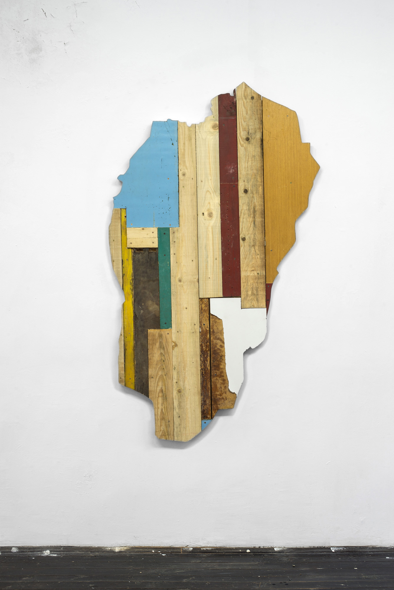
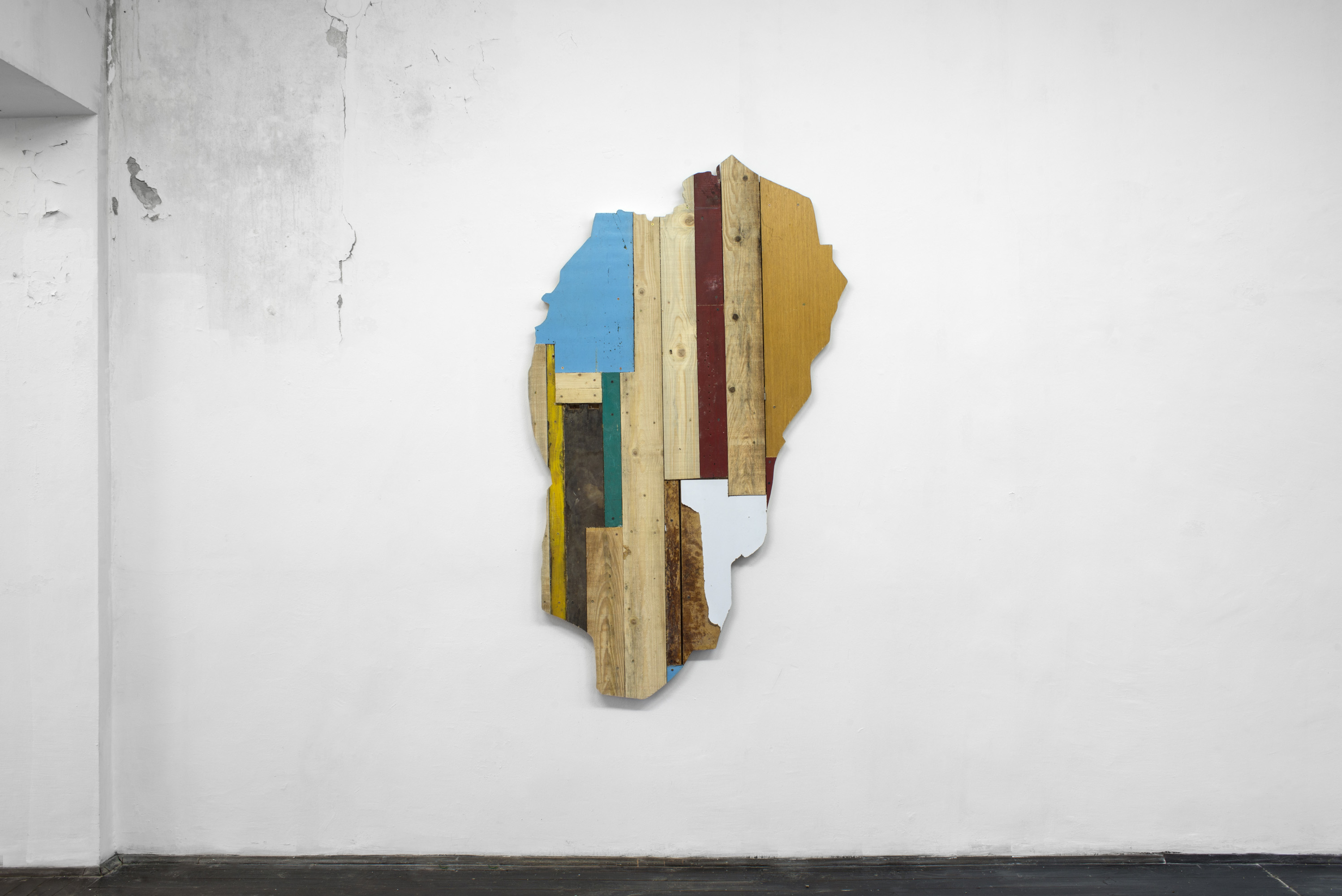

1. Map (Jalovik), 2017
wood, 110 x 180 x 6 cm
production: JAC, Serbia
photos: DK
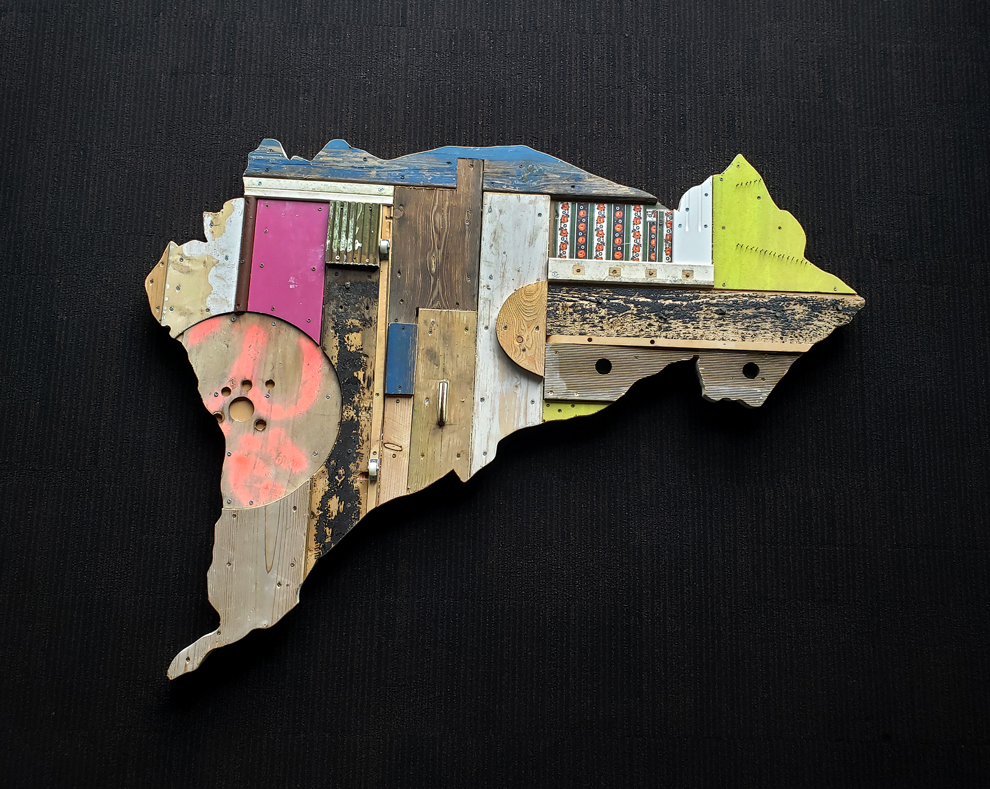
2. Map (Kitzbühel), 2023
wood, 150 x 115 x 7 cm (Kitzbühel Country Club collection, Kitzbühel, Austia)
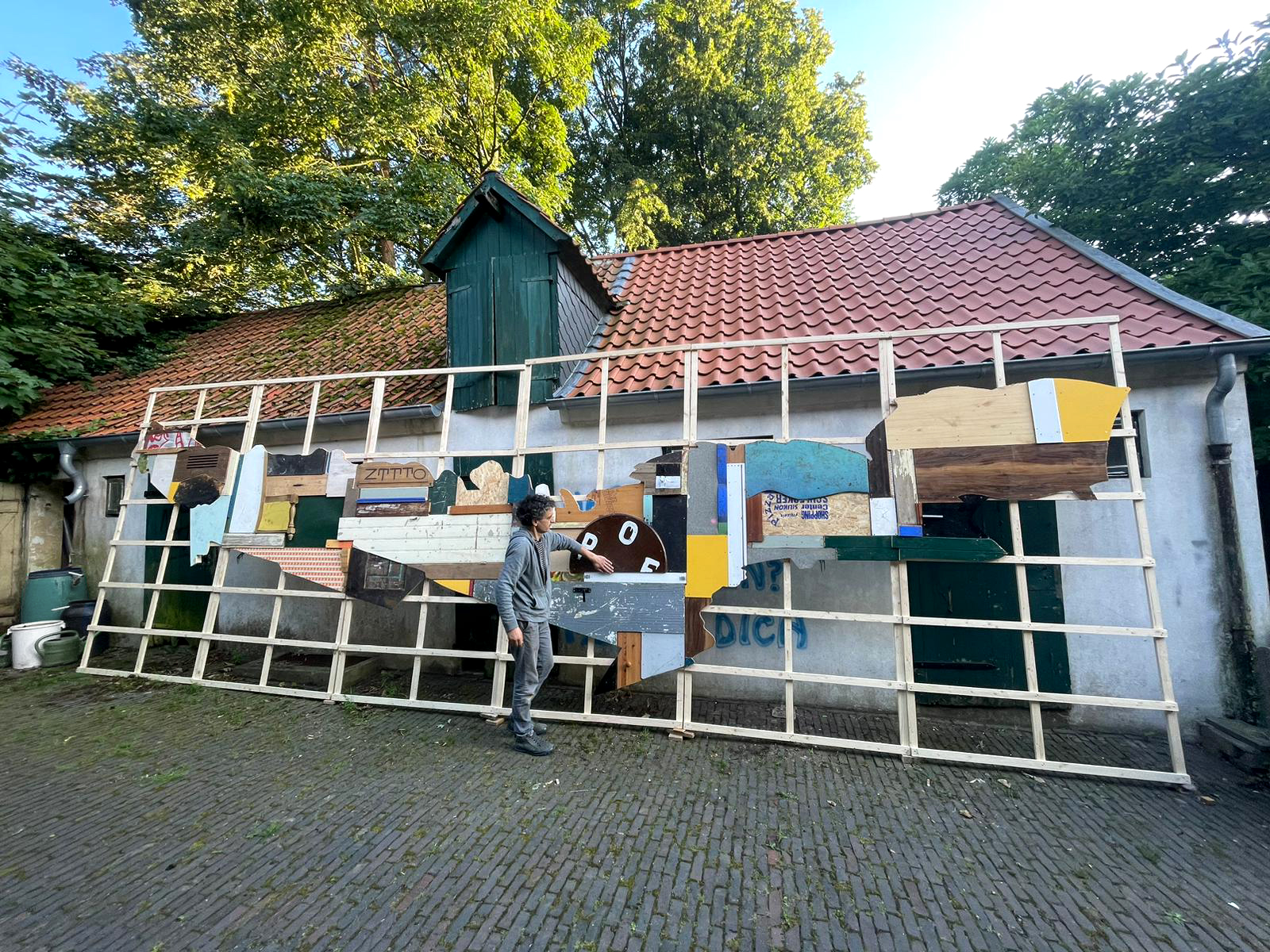
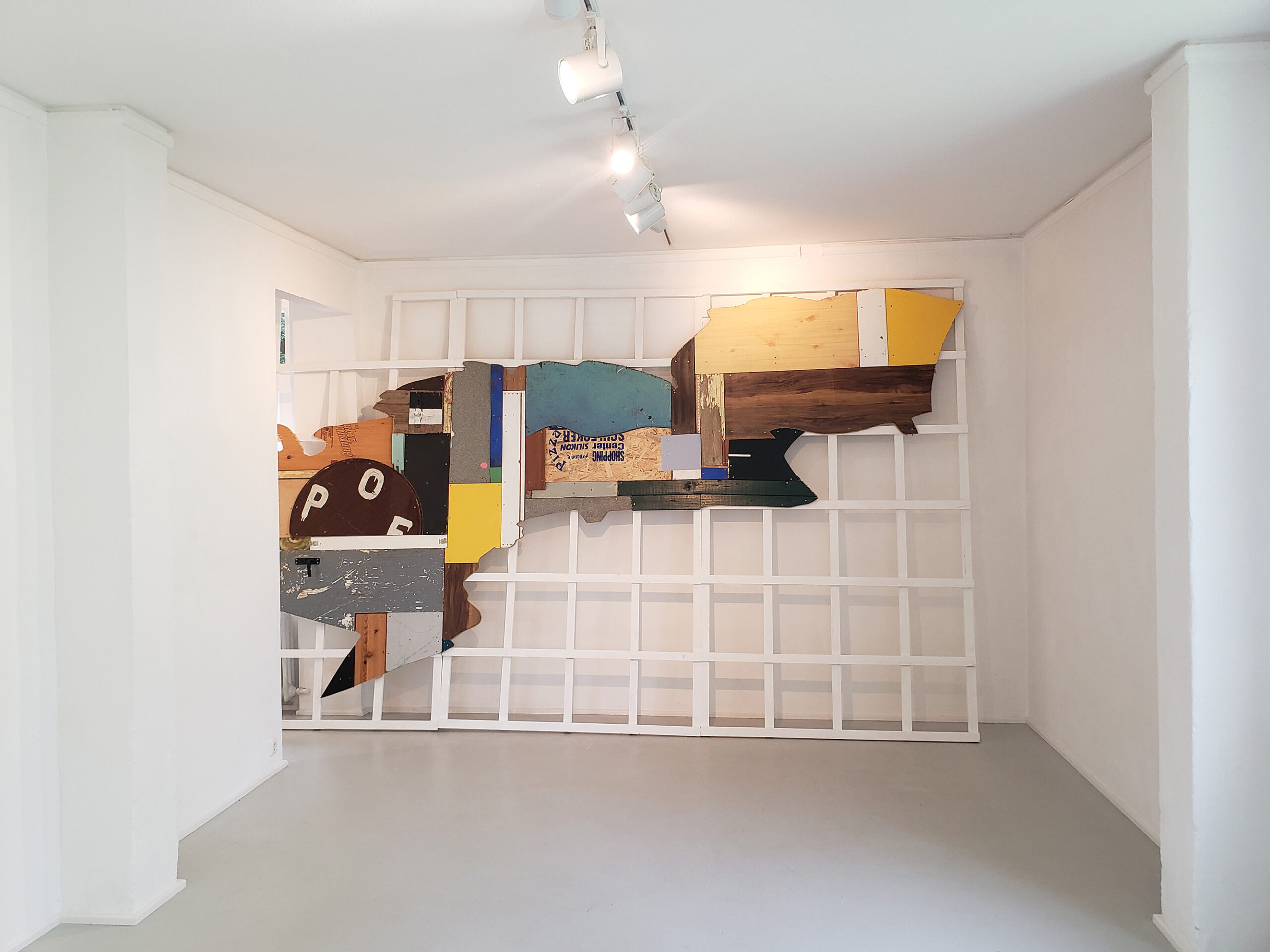
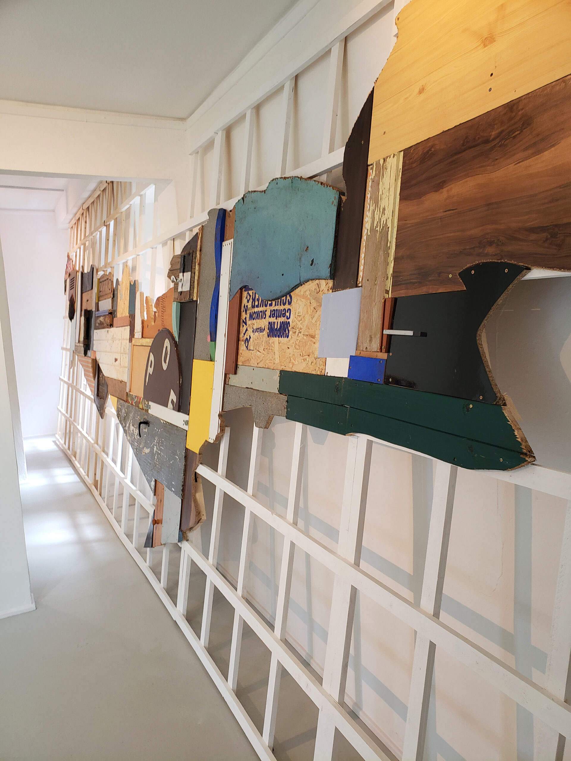
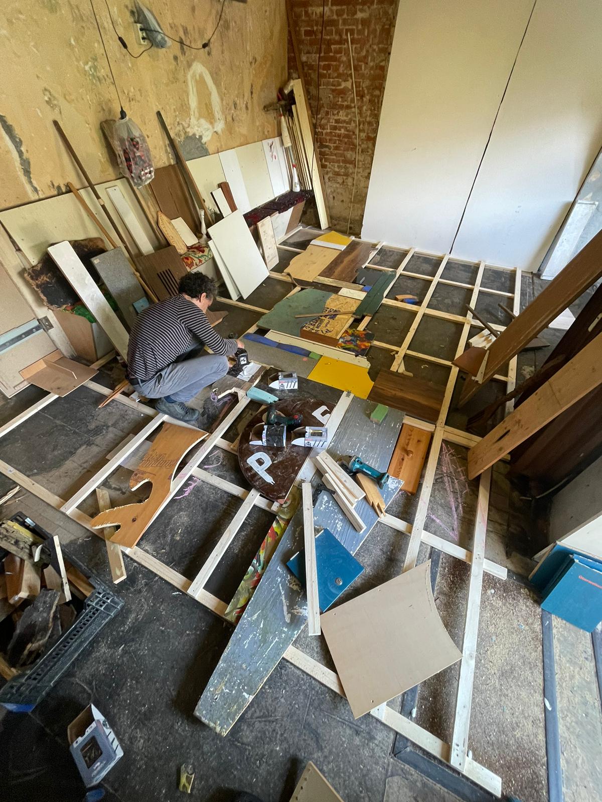
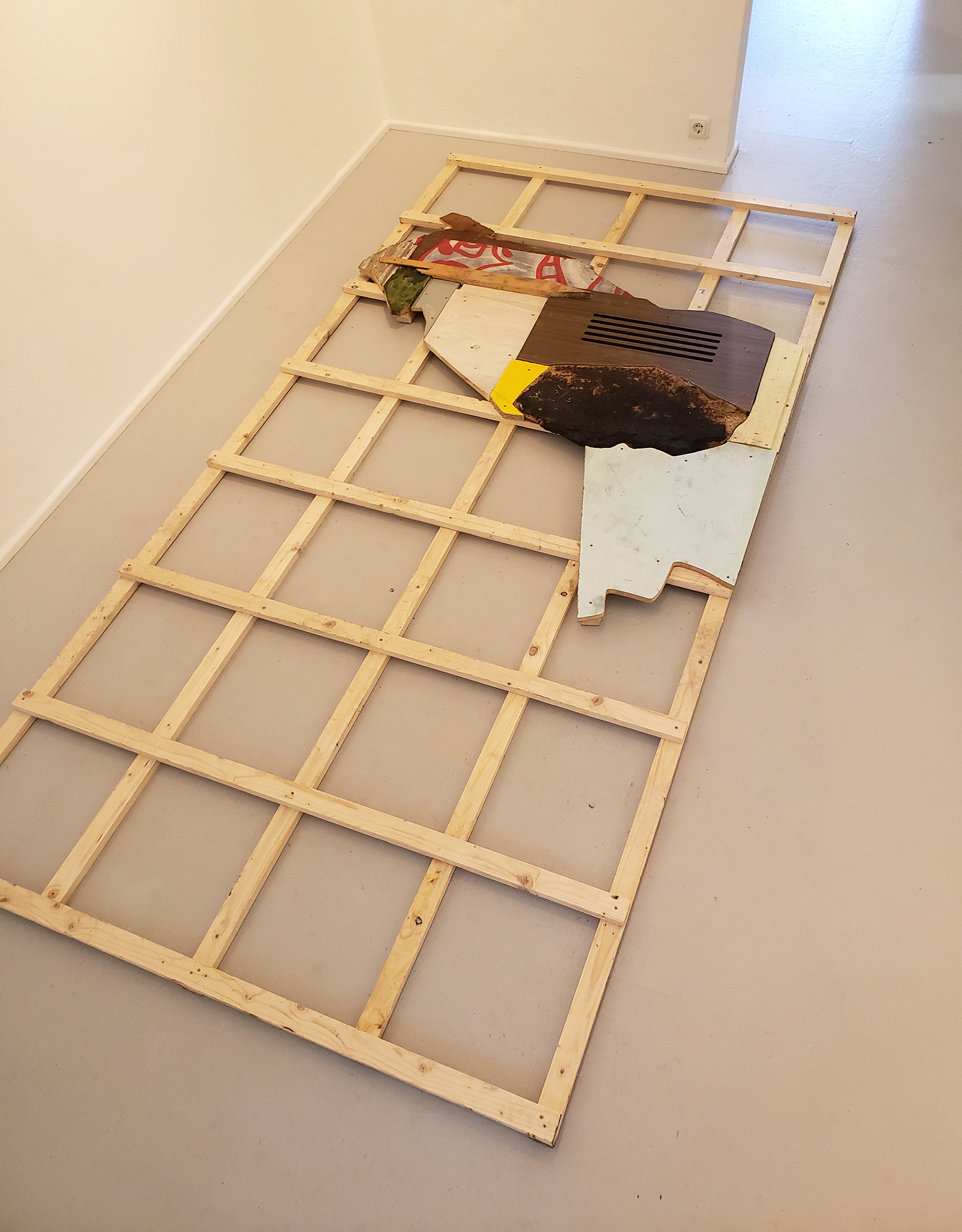
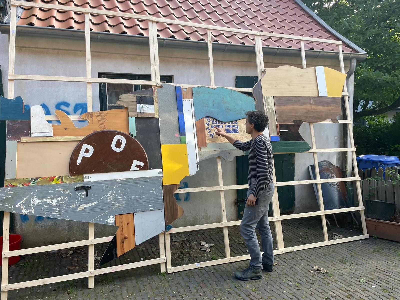
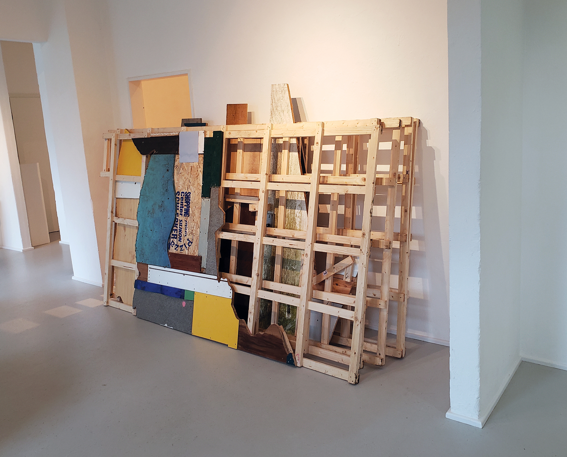
3. Map (Worpswede), 2023
wood, 900 x 300 x 7 cm
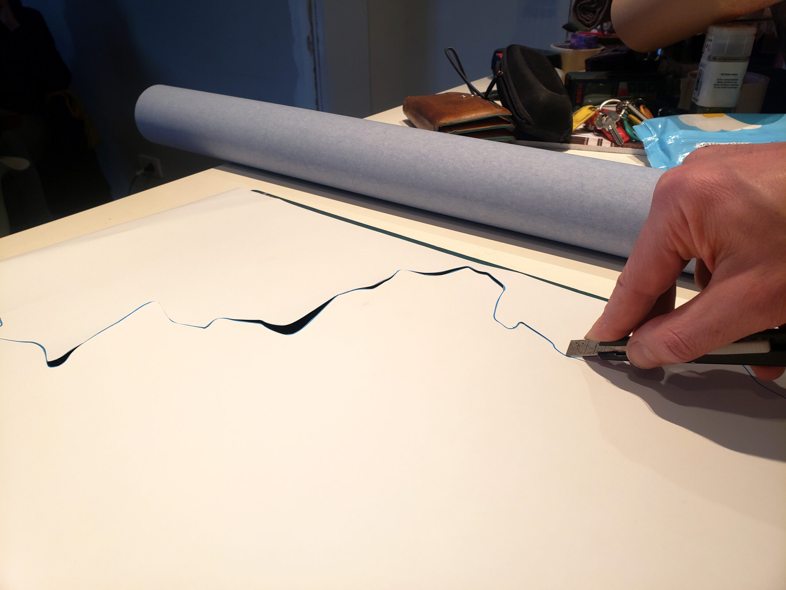
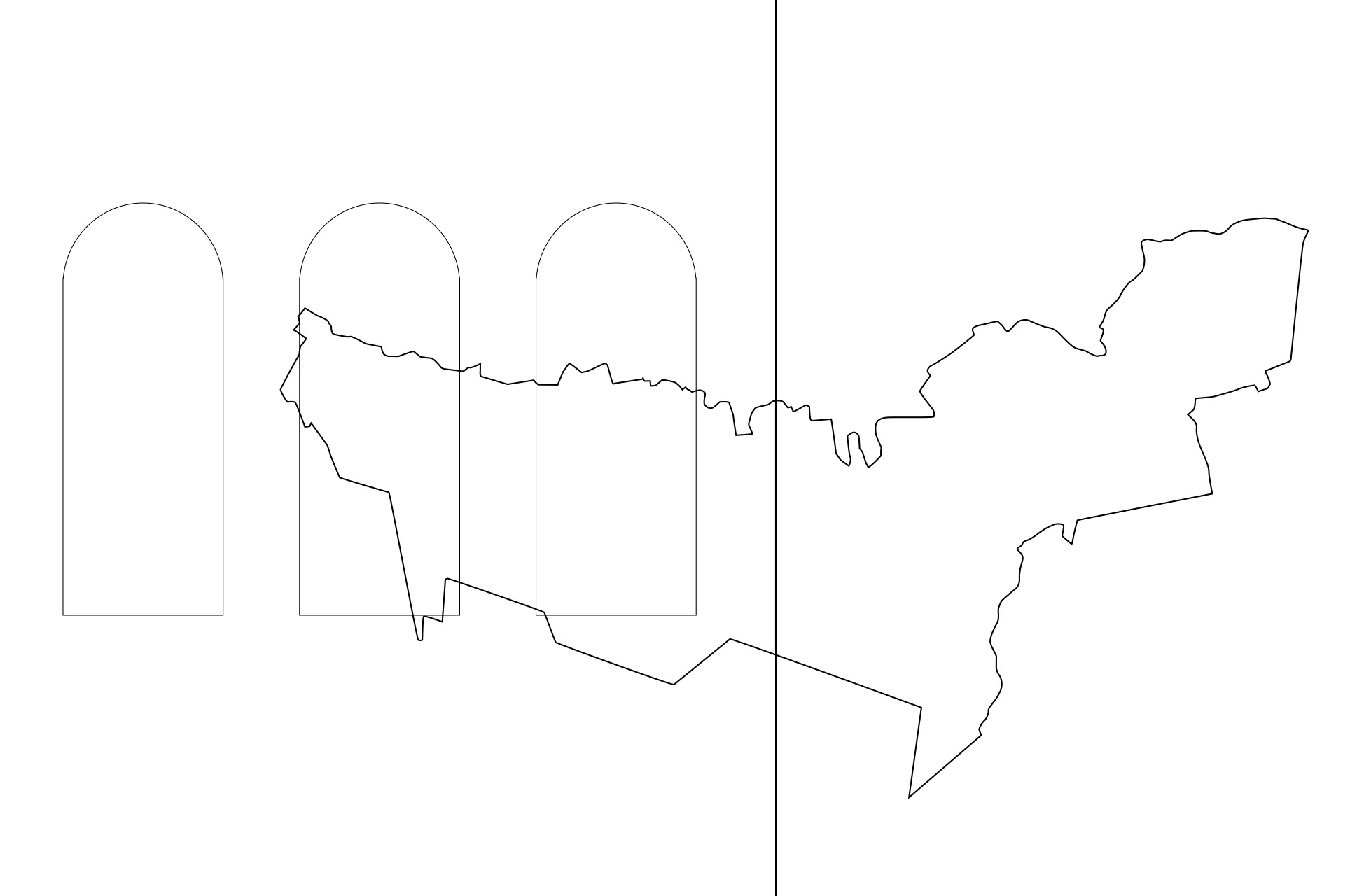
In the series of works MAPS, Branislav Nikolic uses Google Maps in order to define precise contours of the geographical concept (town, village, continent or particular neighborhood) which has a special meaning for him or determines his life in some way. Then, he applies those contours to the already prepared wooden reliefs and cuts their shape with a saw, flat file and sand paper, works them, until he achieves the desired form. He makes the reliefs mostly from wooden material found on the streets of that neighborhood, village, town, continent….